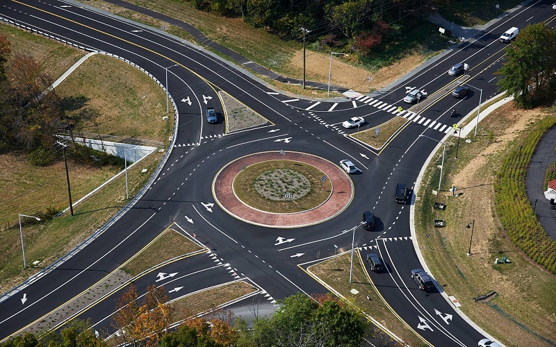
What is MX Road?
Bentley MXROAD is a Road Design and Analysis Software. MXROAD helps you streamline your workflow and reduce production time. It is a Single application to Access 3D modelling, construction-driven engineering, and analysis.
Key Highlights:
- Complete transportation design software.
- Bentley MXROAD is an advanced, string-based modelling tool that enables the rapid and accurate design of all road types.
- Mainly used in the design of High way schemes.
- Complete solution for 3D modeling, construction driven engineering and Analysis.
- MXROAD helps user to improve design quality by combining traditional engineering workflows of plan, profile, and cross-sections with innovative 3D modeling technology based on parametric relationships and constraints.
What can MX Road do?
Road Design:
- Dynamic, interactive 3D modeling of roadways and corridors.
- Design standards like IRC, BS, AASTHO.
- Built-in rules for fast and efficient application of super elevation.
Storage of different road styles and modelling of pavement construction
- Library of standard road styles.
Interactive Design Editing:
- 3D design data editing via cross sections at individual or over a range of chainages / stations
- Ability to edit section elements by slope or push out points, updating cross section and plan views simultaneously
Why MX Road?
This software renders everything that one needs in transportation and civil design projects. It supports in survey and data acquisition for all types of the data field. It performs following functions within the industry:
- It assures that project is engineered which is very critical for the 3D model
- It allows users to share information across various teams, locations, and discipline in consideration to security and precision
- Enables design-time visualization to view the design on the fly and save money by avoiding software and staff requirement
Learning Outcomes
- Information packed practical training starting from basics to advanced
- Course content designed by considering the review of different companies. We insure we update our syllabus on regular intervals to keep our training in sync with the Industry Need.
- Practical assignments at the end of every session.
- Practical learning experience with live project work and examples.
- We encourage Project based learning.
Who should learn?
- B.E/B.Tech/M.E/M.tech in Civil Engineering
- Highway Designers
- Technicians (Transportation, land development & Water Projects)
- Professional surveyors
- Geotechnical engineers
- Storm drainage and water/sewer system designers
- Civil engineering consultants
#BestMxRoadTrainingInstitute

